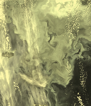
The View from Space – Earth Observation
MikroMakro Parcours
Without imaging techniques, many areas of research would not exist, and many current research questions would be difficult to answer. Remote sensing is such an imaging technique and is used, among other things, in Earth Observation.
Earth Observation not only makes it possible to detect changes in land surfaces, seas and atmosphere, but also to provide information to protect the environment and climate. Earth Observation satellites can also provide a rapid overview in case of disasters such as earthquakes or floods, thus supporting local emergency services. Moreover, Earth Observation based information is an important basis for decision support, for example for international agreements to protect the ozone layer or to combat global warming. Researchers from the Science Lab UZH and the National Contact Point for Satellite Data (NPOC) provide an interactive insight into Earth observation methods and products.
With an extensive course program for students and teachers the Science Lab UZH promotes an image of the natural sciences that is relevant for the future, with a focus on education for sustainable development, gender equality and digital skills.
Related contributions
